Whole-Property Planning for Hunting Land
Habitat design in Des Moines for landowners who need food sources, bedding cover, water access, and stand placement integrated into a single functional plan
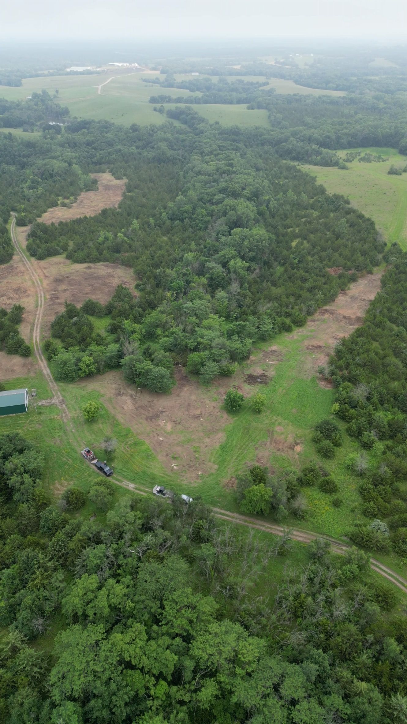
Iowa's diverse terrain includes the flat plains, rolling hills, natural funnels, ridges, and creek bottoms that concentrate wildlife movement. BadHabitz Outdoors provides habitat design services for all Iowa landowners — full-property plans that engineer pinch points, staging areas, and travel corridors where the land doesn't naturally create them. Larger rural properties in Adel and on the outskirts of Guthrie Center — particularly blank-slate parcels transitioning from row crop use to managed hunting ground — benefit most from design work that positions every habitat element to support specific stand locations and access routes.
Design work begins with property assessment to identify existing deer movement patterns, then layers in food plot locations, bedding cover placement, and screening vegetation to create defined travel routes between core bedding areas and feeding zones. Stand sites are selected based on prevailing wind direction, access routes that avoid contaminating bedding areas, and sight lines to intercept deer moving through engineered funnels.
Request a full-property habitat design session to receive a mapped plan before any clearing, planting, or construction begins on your land.
What Cohesive Habitat Design Accomplishes
Design integrates every element — food sources, thermal cover, water, and stand access — so improvements reinforce each other rather than working in isolation. A well-designed property funnels deer past stand locations during legal shooting hours, provides staging cover where deer pause before entering open feeding areas, and maintains secure bedding zones that keep mature bucks on the property during daylight. Properties across the Des Moines metro that implement full habitat designs see increased daylight activity, more consistent stand encounters, and higher retention of mature deer compared to land where habitat work is done piecemeal without a guiding plan.
After design implementation, you'll notice deer using the property differently — concentrated movement through specific corridors, predictable entry and exit routes to food plots, and bedding sign clustered in designated security cover rather than scattered randomly across the parcel. Trail camera data typically shows increased daylight movement and longer feeding durations once deer feel secure moving between designed habitat zones.
Design also accounts for how the property connects to neighboring land use — whether adjacent parcels provide additional food sources that reduce reliance on your plots, or whether your property serves as primary bedding cover with feeding occurring on neighboring ground. These factors influence how aggressively you need to develop food sources versus focusing resources on cover and security improvements.
Common Questions About Property-Wide Habitat Planning
Landowners considering habitat design across central Iowa properties generally want to understand how design decisions are made and what the planning process involves.
What information is needed before the design process starts?
A property survey showing boundaries, aerial imagery with current vegetation visible, and information about neighboring land use all help inform design decisions before the on-site visit occurs.
How does habitat design differ from a basic consultation?
Design goes beyond identifying what currently exists — it prescribes specific improvements, maps implementation zones, and sequences the work to avoid disrupting deer use patterns during construction or planting.
Can habitat design be implemented in phases over multiple years?
Most designs are built for phased implementation, prioritizing high-impact improvements first while spreading costs and labor across several seasons to minimize disruption.
Why does Iowa's flat terrain require more deliberate habitat engineering?
Without natural terrain features to concentrate movement, Iowa properties rely on planted cover, cleared funnels, and strategically positioned food sources to guide deer past stand locations — features that must be intentionally designed and placed.
What role does water availability play in habitat design decisions?
Properties with limited natural water sources may require pond or water hole construction to keep deer on the property during dry periods, particularly in late summer before food plots reach peak attraction.
Badhabitz Outdoors approaches habitat design with hunting outcomes in mind — every element serves the goal of increasing mature buck encounters during legal shooting hours. Reach out to schedule a design consultation and receive a comprehensive property plan tailored to your specific acreage, neighboring land use, and hunting objectives.